Over the lifetime of this blog there have been periods of inactivity and various relaunches but never as long as the last period of over 7 years. The last 7 years have flown by in the blink of an eye. One minute I was marrying Traci in Las Vegas and spending our Honeymoon walking the John Muir Trail through the Sierra Nevada mountains. Then suddenly my eyes open again and I now have 9 cats, 10 grand children, and almost halfway through my 40’s and
Route 1 - The Greater Grisedale Horseshoe
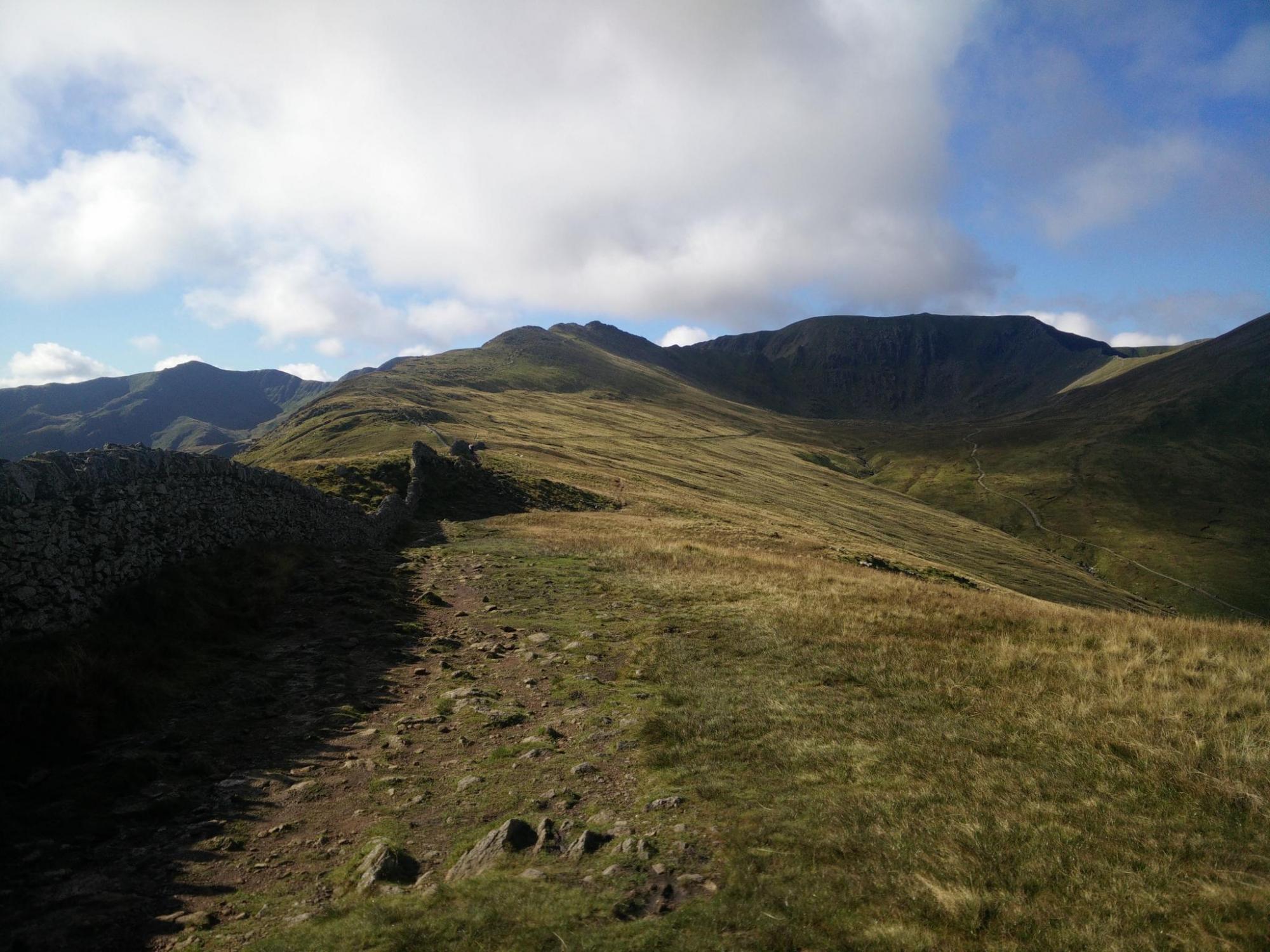
This is the first walk from the Walking the Wainwrights book, see my previous post for more details on the book. It's probably not the easiest route to start with but does give a good indication of the level of fitness needed and is generally on very obvious paths. The highlight of this route is striding edge, which is an easy undertaking in good weather for anyone who has a reasonable amount of experience but the best advice I would give is to set off early
Like so many people I own Wainwright's Pictorial Guides to Lakeland Fells and over the years have started to walk them with the aim of bagging them all. I've tracked these in various ways from spreadsheets, Memory Map POIs, websites and wall charts but for various reasons I always gave up and ended up walking the same hills again and again. Usually the most obvious ones like Scafell Pike, Blencathra, Helvellyn, etc.. I have walked more than 214 Wainwrights in total, probably treble that, but this
Blog move and the future
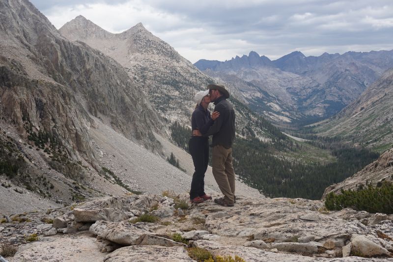
The blog has been quiet for 18 months now, since then I got married, walked the John Muir Trail (JMT) on our honeymoon, worked, worked and worked some more. The main reason for the silence was the day job taking up so much of my time. Hopefully the day job is under control and we have dates scheduled in my calendar for walking for the next 6 months. Leading up to finally tackling Triglav in Slovenia over 2 days in July. This has been outstanding since
The John Muir Trail
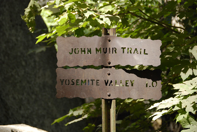
Once again the blog has been silent for a while, so many things have been going on recently. The biggest single thing is organising my wedding to Traci or rather our Honeymoon walking the John Muir Trail. The wedding itself is very simple with just Traci, myself and the wedding wagon marrying us on the balcony of our Cosmopolitan suite in Las Vegas. So what's this John Muir Trail then? For me personally the John Muir Trail came to my attention about 5 years ago from