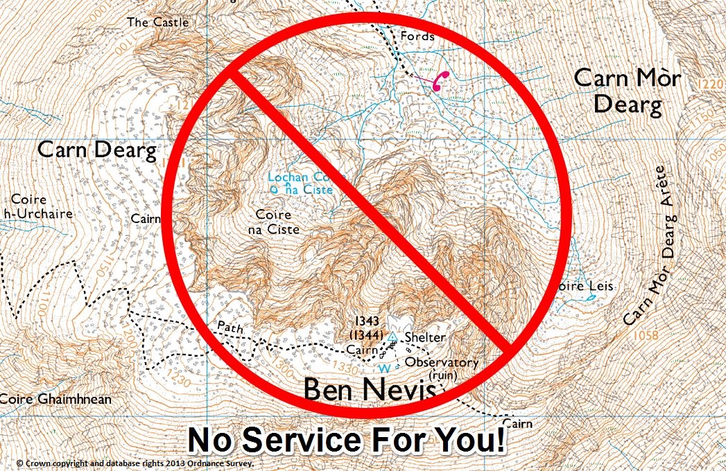
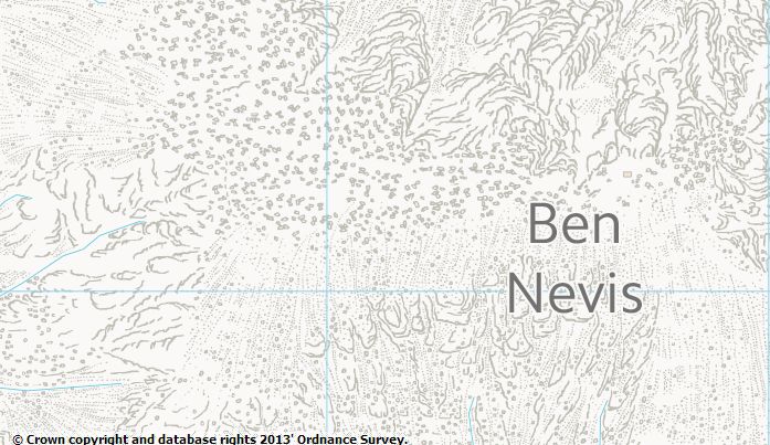
Over the last year I have been thinking about maps a lot, from using them in my day job, planning adventures in my spare time and for future job plans. Living in the UK the most obvious maps to use are from Ordnance Survey and anyone who has even the most fleeting use for a map will generally be familiar with some of their maps. The paper Explorer maps of the Lake District that I keep in the boot of my car are looking very worn, although these days they rarely leave the boot. Why do they rarely leave their home?
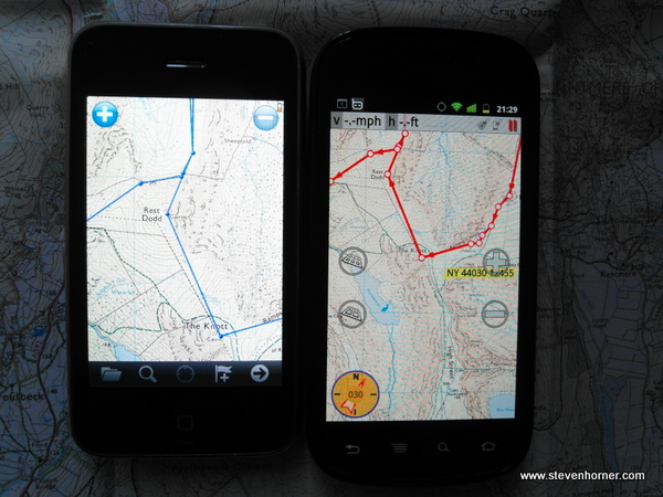
Like most online outdoor walkers and bloggers I have used digital mapping for years, but always carry a paper map in case my digital device breaks or runs out of power. I rarely look at my paper map unless I want an overview of an area. Generally in somewhere like the Lake District I can recognise most of the landmarks and hills I can see around me. The map I generally have in my pack for this isn't an Ordnance Survey map but the Harveys Lake District map, yet this rarely leaves my pack either these days. All of this will be familiar to many outdoor enthusiasts who are embracing modern technology and using Digital mapping more and more.
There are problems with digital mapping and I don't mean running out of juice in your GPS device or smartphone. I'm talking about "Digital Map Lock In", this is the most frustrating and frankly old fashioned thing about digital maps.
What is Digital Map Lock In?
In the UK the biggest provider of outdoor mapping data is Ordnance Survey, many (UK people probably) believe them to produce the finest maps in the world. These are the maps used by the majority of people walking in the UK both paper based and digital. Yet due to the way Ordnance Survey licence, restrict and distribute their digital data they have produced and seam to actively encourage each company who uses their maps to produce outdoor mapping programs like Memory-Map, Route Buddy, Anquet or Mobile specific apps like Viewranger to create their own map format. Their map formats are "locked" to their program.
If I buy a digital map for Memory-Map, I can only use it in that program not in Anquet or anything else. This sounds very familiar to digital music a few years ago, the songs were locked to iTunes or Napster (legal version). If you wanted to play them in anything else you were out of luck. Unless you did a little research and broke the law removing the Digital Rights Management (DRM). What did people do? They downloaded MP3s illegally, the music industry tried taking people to court and dishing out massive fines but did it work, No!
Eventually some of the music industry realised that things were/are changing, the models of old were crumbling and that their old model didn't fit with todays generation. Spotify and similar services have appeared that offer consumers everything they had with their illegal sources (Napster, Limewire, etc) almost any song they desire in one convenient place and available on any device. People like myself were happy to pay for the service and I have done so every month since the first mobile app was released (3 years ago?). This model still has DRM with its restrictions, but I am happy to pay for it because I can listen to my music on everything I currently use (phone, computers, we browser and even now in programs like XBMC). I like the all I can eat model with the choice of millions of songs rather than the Amazon model of no DRM but paying for each song model. Who has made the most money from me, Spotify by a mile (£9.99/month for 3+ years).
All You Can Eat Maps
So what has all this talk of music got to do with maps, well we need the same thing to happen with digital maps. I don't want to be stuck using Memory-Map because I chose to buy a map from them 3 years ago or pay Viewranger for the same area again to use it in their app. I want to pay for my Ordnance Survey maps and be able to use them in any program or service and they be constantly up to date. I have no doubt someone is sat there thinking but you can't do that with paper maps. Exactly that's old fashioned and exactly the problem we have, we want new ideas not old ones.
I'm sure someone else would point out that Ordnance Survey provide an app for iPhone(OS Map Finder). I think this is the wrong move, I want Ordnance Survey to be the map producers and distributors with other companies providing software and services that use their data. I am happy to pay for a program or service and I have for AlpineQuest, MM Tracker, OSMand+ and many others.
What I would like is to pay a small monthly fee to have Ordnance Survey maps available in any program and always up to date. Ordnance Survey actually do already provide this service for business users, its called OS OnDemand and it starts from £1,500 rising to £20,000 per year. Slightly out of reach of the normal outdoor enthusiast. What I believe Ordnance Survey should do is offer a subscription map service for around £5 per month, this would allow me full access to their digital maps (possibly excluding MasterMap). They would provide the service and allow me to allow apps and services to use my subscription in the same way you approve access to your Twitter or Google account. This would provide an extra revenue stream for them, £60 per year from me and likely every other digital map user. This would mean apps like Viewranger would need to charge for their app again, I paid for at least one version of their app already.
Obviously the service would have to allow caching of maps, otherwise the service would be useless in remote areas. Providing always up to date maps at each scale and for the whole of the UK is the incentive that would encourage users to constantly subscribe.
Why would Ordnance Survey do this?
In recent years Ordnance Survey have generally had UK mapping to themselves other than the areas Harvey Maps provide, but the average person likely has not seen or used them. I have only seen them available digitally for one program (even worse than OS). There is also a new kid on the block, actually its not that new. OpenStreetMap (OSM) is celebrating its 9th year, but it is only recently that it is starting to become a realistic alternative to other major map providers like Ordnance Survey or Google for online maps. You may scoff at the thought of navigating the Cairngorms with an OpenStreetMap, but I believe its now almost possible if combined with contours and a grid.
Anyone who has attended a mountain leader course will have navigated largely using contours. Ordnance Survey Explorer maps can be very "busy" once you learn to use contours correctly. Take a look at Thunderforest Landscape and Outdoor maps for examples that use OSM data. They are still missing a few things in my opinion but the designer of those styles chose to omit some things like walls and fences. The biggest thing OpenStreetMap has going for it is that it is open and the data is freely available to use by anyone and can be updated by anyone. So if something is missing go and add it. I don't know about you, but I have spotted loads of mistakes on OS maps (intentional or otherwise) it can also take years for things to be added or removed. Not only should Ordnance Survey be worried but so should Google, they already borrowed OSMs model and now allow you to make updates to their maps using Google Map Maker. I am digressing, some of these thoughts will likely be discussed in future posts.
So returning to that question, why would Ordnance Survey do this. Well they could and should provide a service like this now, rather than waiting until OpenStreetMap have eaten away at their business. If they provided this service now I believe they would be opening up an untapped revenue stream and would be a leader once again. Almost all of the mobile apps available already provide OpenStreetMap as well as Ordnance Survey. If the free data becomes as good or better why would you pay?
Ordnance Survey needs to provide something that no one else can (currently) offer, don't forget there is already free "OpenData" release by Ordnance Survey that when combined with other free sources of data is potentially far better than what we currently pay for, keep an eye out for future posts.
Comments